How to Create a Pollinator Pathway Map?
Pollinator Projects can be all shape of forms, but a Pollinator Pathway generally has a topographic meaning. This means that the Pathway(s) or Pathway Participants can be mapped. Today mapping tools are freely available through Google maps and Google Earth. Some municipalities offer ‘GIS’ mapping tools, and if you use WordPress there are several good plugins for maps. Good luck!
Go to your town hall to ask for a print out of your municipality. You can use this physical map to hand color participant’s properties and to take with you when you present your Pollinator Pathways project.

Some organizations like H2H, Land Trusts, and many Town Boards have software to create maps. Connect with them and find out if they are willing to create a map with you.
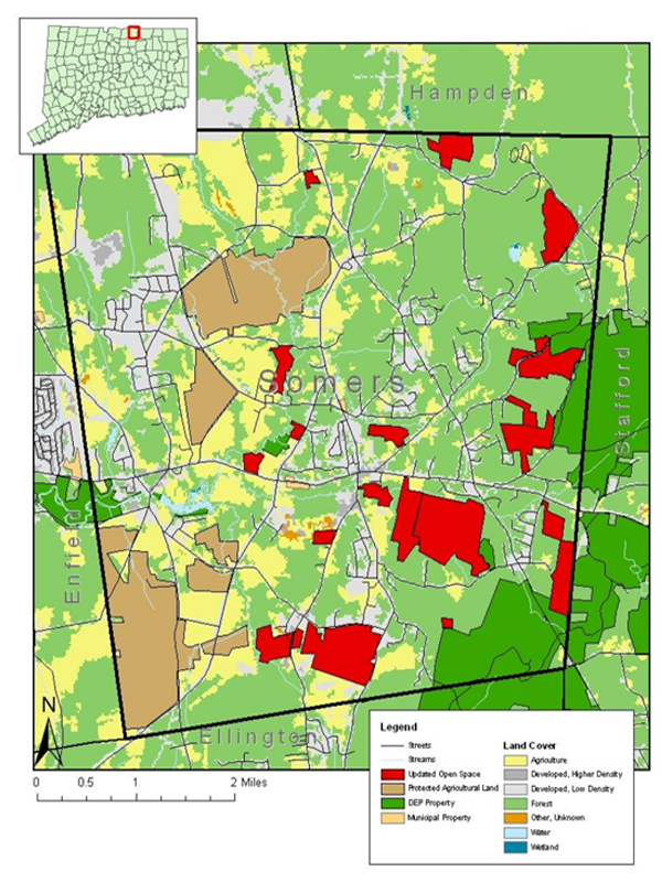
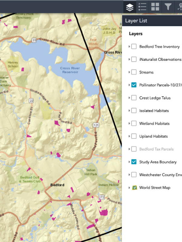
Our county and most of our towns make use of the GIS mapping system. Ask your town to help you create a Pollinator Pathway ‘layer’, or purchase the GIS tools, and learn how to do it yourself.